
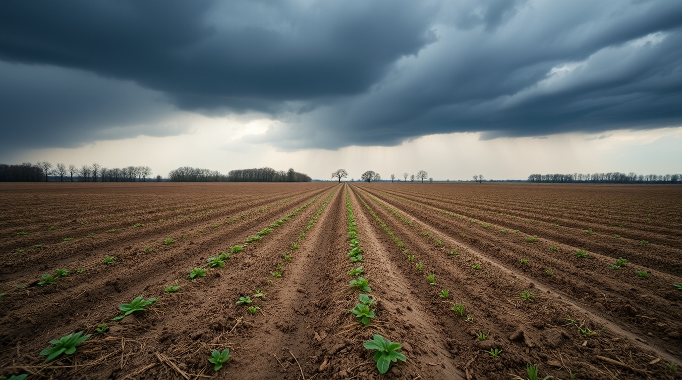
After months of drought pressure, parts of central and southeast Illinois finally caught a break. A new bulletin from the National Weather Service in Lincoln says heavy rain in late March brought meaningful relief across parts of the region, trimming drought intensity in some counties and improving short-term conditions for water and soil.
But the bigger picture is not fully fixed. Even with recent storms, water table levels remain low, some streamflows are still well below normal, and one stretch of the Sangamon River north of Champaign is sitting at an all-time low flow for this date. That is the tricky part with drought. A few wet days can green things up fast, but underground recovery usually takes much longer.
Where drought is still hitting hardest in Illinois
The March 26 bulletin says there is no exceptional drought in the coverage area, which is a step in the right direction. Still, extreme drought remains in southeastern McLean County, far northern Piatt County, Champaign County, and far northwestern Vermilion County, while severe and moderate drought continue across other parts of central Illinois.
The bulletin also notes that abnormally dry conditions remain south of a line from Cass County to Edgar County. In simple terms, that means the drought map is improving in spots, but a large part of the region is still dealing with lingering dryness that has built up over time.
Why recent rain helped but did not solve everything
Over the past 30 days, precipitation ran above normal across all of central and southeastern Illinois. Near the Interstate 72 corridor, some places recorded around two to three times their normal rainfall, which gave the area a needed boost and helped soften the drought picture.
Even so, the bulletin says long-term precipitation deficits are still a problem. Groundwater has not recharged enough, and deep soil moisture remains below normal near the worst drought zone. Think of it like soaking the top layer of a dry sponge. It looks better fast, but the deeper part can stay thirsty for quite a while.
River flows and local water supplies are still under pressure
Hydrologic impacts remain one of the clearest warning signs. The National Weather Service says streamflows are still below normal in much of the D1 to D3 drought area, especially along the Sangamon River north of Champaign, where flow remains at a record low for this point in the calendar year.
There are also local water supply concerns. Voluntary Stage 1 water rationing continues in Decatur, and a water emergency remains in place in Sullivan, where residents are being asked to conserve water. So yes, more rain has arrived, but the underground side of the story is still catching up.
What the next forecast says about drought recovery
The short-range outlook offers more reason for cautious optimism. The bulletin says rain of around one-half inch to one inch fell Thursday night in parts of the area, and additional rainfall early next week could bring total amounts of 2.5 to 4 inches over the next seven days.
Forecasters say that should continue to lessen the drought. Longer-range outlooks from the Climate Prediction Center also lean toward above-normal precipitation in April, with drought projected to improve or even end across much of the area through the end of June. That is encouraging, though experts know spring forecasts are not a guarantee. One wet stretch can help a lot, but lasting recovery depends on rain continuing to show up.
The main official bulletin has been published by the National Weather Service.
Related official references include the latest U.S. Drought Monitor and the Climate Prediction Center drought outlook.